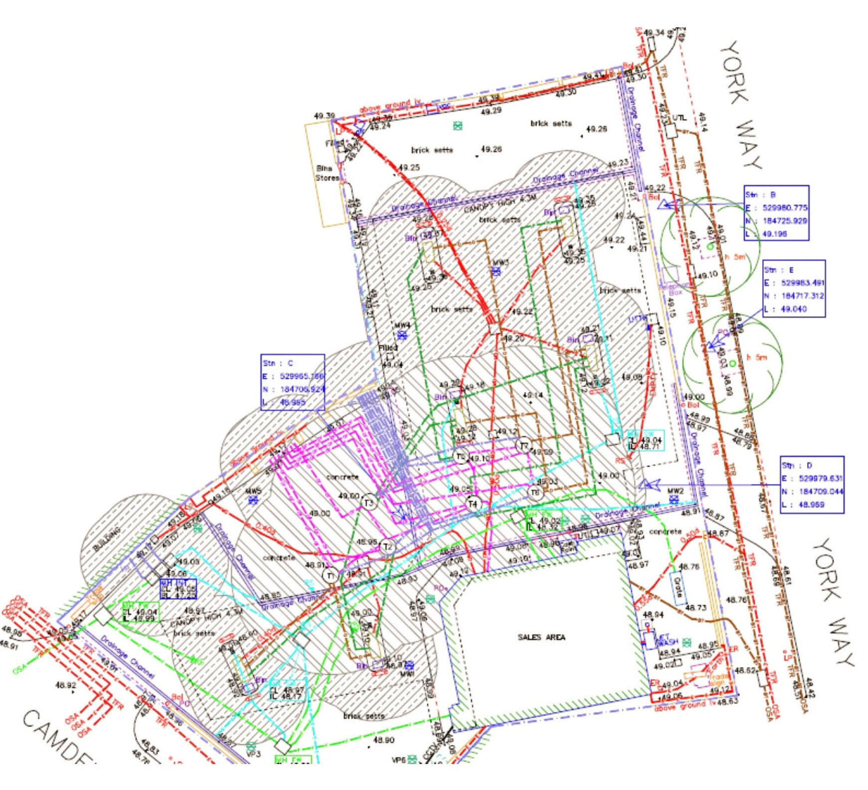
Robust utility mapping & drawings
A full, robust utility map is the perfect solution for anybody wishing to locate and record underground apparatus and services.
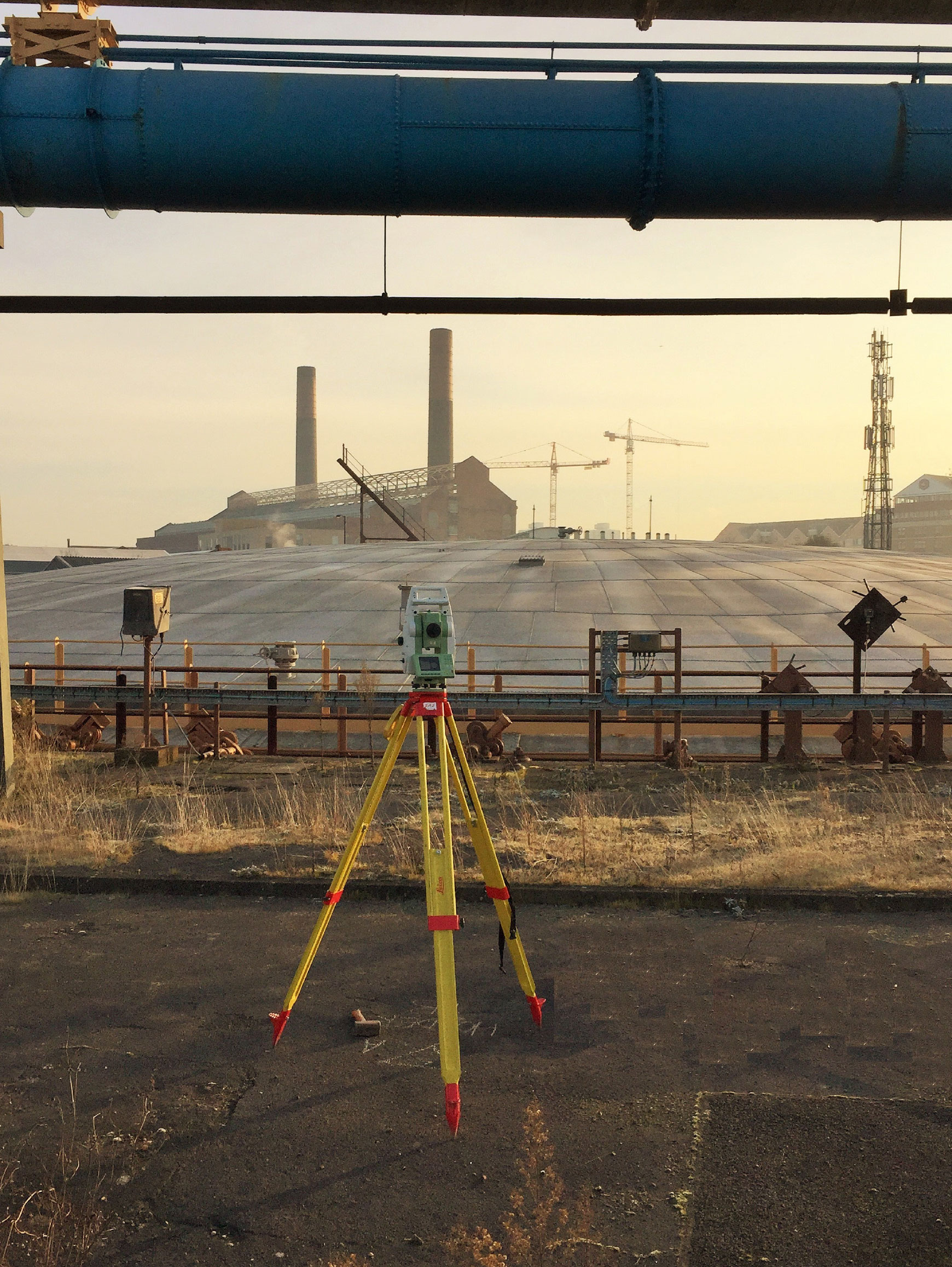
ADP Group use various types of state-of-the-art technology in order to have a better understanding of what lies beneath. By supplying a detailed utility drawing indicating the type, position and depth of a service we are able to reduce the risk of a service strike and provide a better understanding of the infrastructure prior to any excavation works.
Adopting a wide range of techniques, including electromagnetic locators and Ground Penetrating Radar (GPR) as standard.
ADP Group utilise the industry leading RD8100 radio frequency locator from Radio Detection, along with ground penetrating radar (GPR) from both Mala and Leica.
PAS 128 Surveys
The PAS specification outlines key stages (survey types) to obtain the most comprehensive and informative survey results for your site. The survey types are;
- Type D Survey: Desktop search and compilation of statutory provider information.
- Type C Survey: Underground utilities plotted from utility record data only, but with site reconnaissance to match utility record with physical utility street furniture as a best fit.
- Type B Survey: An on-site utility mapping survey using multiple geophysical instruments. The output from this survey shall be each linear 5 metre section of utility depicted as a Quality Level (QL) 1-4 for horizontal and vertical detection accuracy.
- Type A Survey: Utility verified and positioned by physical identification. This may be by strategically positioned vacuum excavation (offered by ADP Group), hand dug trail pitting or by visual inspection within a utility chamber.